Key Historical Archaeological Locations
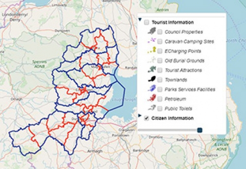
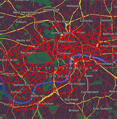
Explore our map, showing the location of all archaeological monuments, listed buildings, industrial heritage sites, areas of archaeological potential, protected historic parks, gardens and demenses, areas of special archaeological interest and finally defence heritage sites throughout Northern Ireland.
Using data from the Open Data Portal of Northern Ireland, we have contextualised the exact location for all historical sites throughout Northern Ireland.
All data layers have been configured to 'Off' on map load by default, enabling you to quickly select and visualise the data layer of your choice.
Data has been presented using polygons and points, which have been styled using the advanced styling tool. Enabling us to choose an appropriate icon to match the layer description.
Data has been presented using the Here Satellite baselayer.
In this example the toolbar has been configured with the google places feature, enabling you to quickly navigate to the nearest road next to your point of interest.
In addition, the draw radius and browse tools have been enabled, allowing you to quickly search points of interest nearest to your preferred location.
Why not use our map to locate the historical and archaeological location in your local area or to plan your weekend excursions.


