News
Home | News

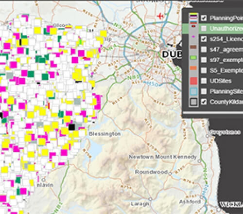
Kildare County Council Launch GIS Planning Portal
22nd Jun 2017
The planning enquiry portal provides citizens with an interactive map and search resource to view planning related information.

Azimap Awarded Place on G-Cloud 9 Supplier Agreement
22nd May 2017
As a cloud based Geographic Information System (GIS), Azimap is now available to central and local government across all G-Cloud 9 lots, enabling us to better serve the public sector.

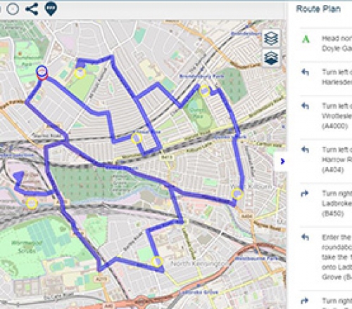
Route Optimisation and Lasso Feature Selection available with immediate effect
9th May 2017
We're delighted to announce with immediate effect the release of Azimap 5.0. The 5.0 release of Azimap focused on user experience, streamlining workflows and the development of new functionality.

Citizen Generated Mapping Survey
11th Apr 2017
An online survey of UK local authorities is being undertaken by UK based research firm Quadriga Consulting. The survey is attempting to paint a more detailed picture of the types of citizen reported location data being utilized by local authorities.

Mid Ulster Council Partners With Azimap To Digitise And Analyse Waste Collection Data
27th Mar 2017
Discover how Mid Ulster Council digitised the collection of trade waste from more then 250 sites across the Dungannon area and increase productivity by 80% using Azimap compared to utilising similar processes on the council’s proprietary GIS


