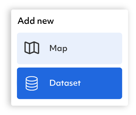
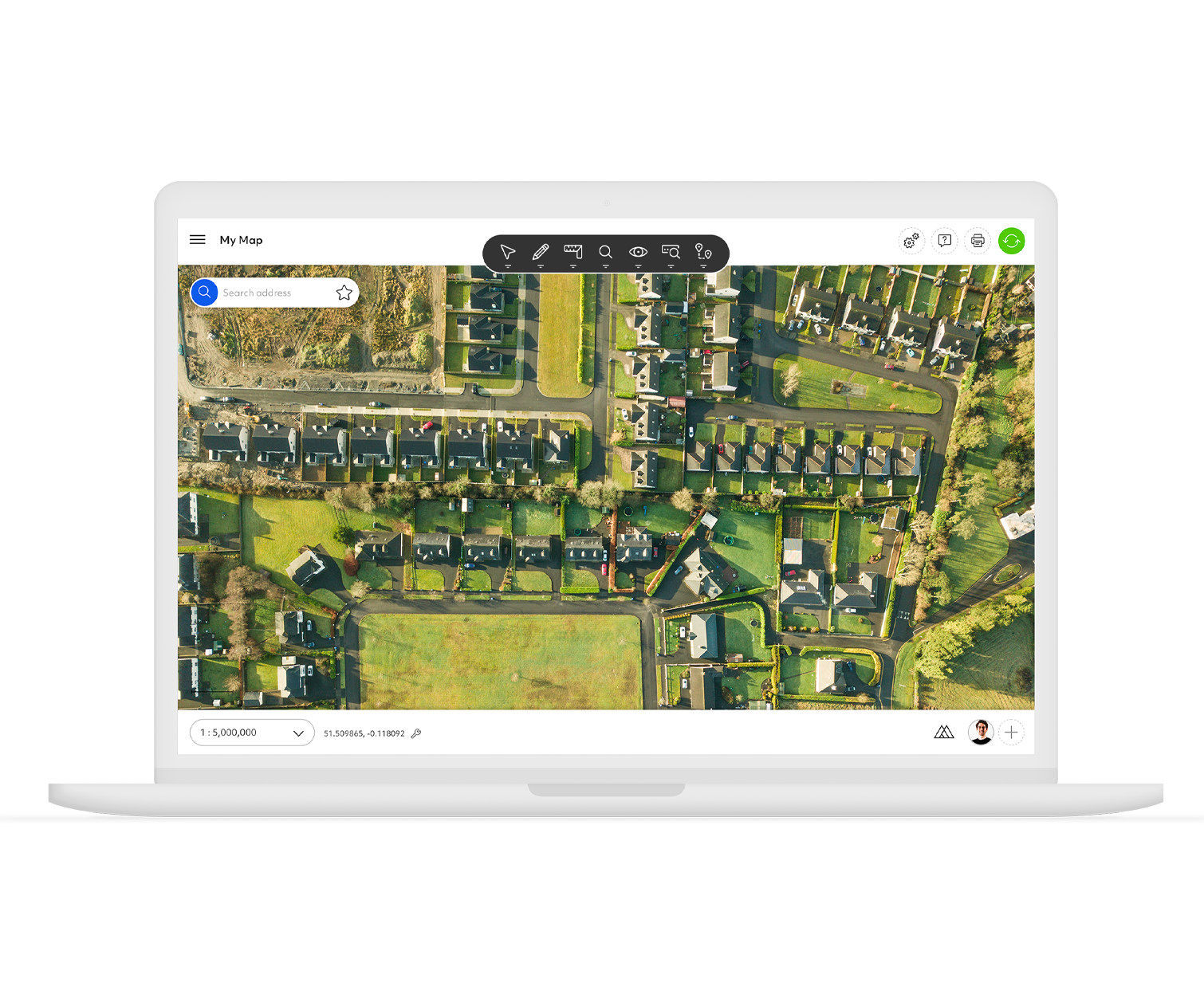
Azimap

Map Creation

Work smarter & free yourself from lengthy map creation processes with the quickest map development tools available

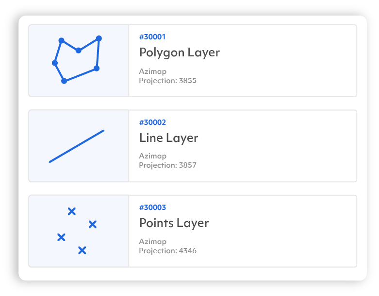
Quickly and easily create maps like never-before. Azimap's map creation tools have simplified and improved the process of importing and adding data to maps. Simply drag and drop multiple datasets in multiple formats, click import and let Azimap handle the rest. It's as easy as that!

Key Features:

Data Import

Geocoding

Digitisation Tool

Feature edit

Advanced Edit

Snapping Tool

Data Import

Take the hassle out of map production and create beautiful maps in seconds. Utilising Azimap's intuitive drag & drop data importer, multiple datasets in multiple formats can be uploaded and configured in one go. Supporting all major spatial data types (shp, csv, tab, kml, gpx geodatabase & geotiff), Azimap has made it quicker and easier to create the maps that matter to you.

Geocoding

Instantly match your address data to a location. With Azimap's Geocode importer, files containing large volumes of addresses can be uploaded & automatically converted into a location on a map, removing the need to manually digitise each individual address enables users to focus on gaining new insights from their data.

Digitisation Tool

Free valuable office resources to focus on strategic tasks with the creation of assigned user workflows. With speeds up to 5x faster than desktop solutions, Azimap has simplified the digitisation process, enabling teams to quickly capture all their required data, share the results and improve collaboration throughout an entire organisation.

Line

Select

Select single or multiple features on your map.

Edit data

Move, amend, rotate or resize your features.

Measurements

Measure distance or area.

Zoom

Control map zoom or find a location.

Visualisation

Control the visual style of your data.

Analysis

Perform multiple spatial queries on your data in seconds.

Networking and Routing

Route planning and drive time polygon generation.

Feature Edit Tools

Quickly and easily add or edit features on a map with a few simple clicks. With Azimap's feature editing tools, attributes can be drawn, moved, rotated, resized, copied or deleted. Existing features retain their connection with the underlying database to ensure any changes can be instantly exploited throughout a team or organisation.

Advanced Edit Tools

Modify your existing data quicker than ever before. Reducing once complex processes into a few simple clicks, Azimap's advanced edit tools enable any user to easily split and merge polygons or create donut holes in polygons. Free yourself from complex editing tools and focus more time to analysing your data and interpreting the results to help support your strategic decisions.

Snapping Tools

Improve the accuracy of feature creation whilst significantly reducing user errors. Azimap's snapping tool ensures that new polygons can easily be joined to existing features, allowing them to be accurately recreated with no overlaps.

Get in touch

Request a demo and see for yourself how Azimap is transforming the way organisations access, consume & analyse their data. This one-to-one demonstration will be tailored to your organisation's interests.

Request a demo

Our use of cookies

Some cookies are necessary for us to manage how our website behaves while other optional, or non-necessary, cookies help us to analyse website usage. You can Accept All or Reject All optional cookies or control individual cookie types below.

You can read more in our Cookie Notice

Functional

These cookies enable core functionality such as security, network management, and accessibility. You may disable these by changing your browser settings, but this may affect how the website functions.

Analytics cookies

Analytical cookies help us to improve our website by collecting and reporting information on its usage.

Third-Party Cookies

These cookies are set by a website other than the website you are visiting usually as a result of some embedded content such as a video, a social media share or a like button or a contact map