The tools transforming the way organisations access, consume & analyse their data
Map Creation
Quickly and easily create maps like never-before. Azimap's map creation tools have simplified and improved the process of importing and adding data to maps. Simply drag and drop multiple datasets in multiple formats, click import and let Azimap handle the rest. It's as easy as that!


Data Import
Simply drag & drop multiple datasets into Azimap & view the data as layers on a map.

Geocoding
Automatically import and match your address data to a location.

Digitisation tool
Easily create assigned work-flows for the digitisation of data & ensure all required tasks are completed before publication.

Feature Edit Tools
Quickly & easily add or edit features directly on your map.

Advanced Edit Tools
Modify your existing data quicker than ever before with split, merge & donut tools.

Snapping Tool
Accurately replicate existing features & reduce user errors during the digitisation process.
Data Visualisation
See your data in a whole new light. Azimap's data visualisation tools make it easy to create beautiful looking and insightful maps with a couple of clicks. Removing the need to learn complex code sequences, the advanced styling wizard will make it quicker and easier to visualise your data and interpret the results to support your strategic decisions.


Styling
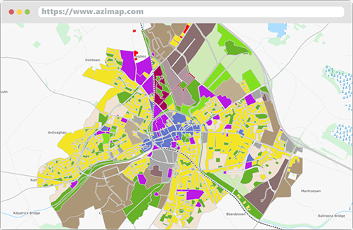
Advanced user-led styling tools enable you to create beautiful maps in seconds, with no coding knowledge required.

Heat Maps
Interpret statistical data quickly & easily using the intuitive heat map styling tool.

Interactive Point Clusters
Visually represent large volumes of data in a clear manner using the point stacker tool.

Thematic Styling
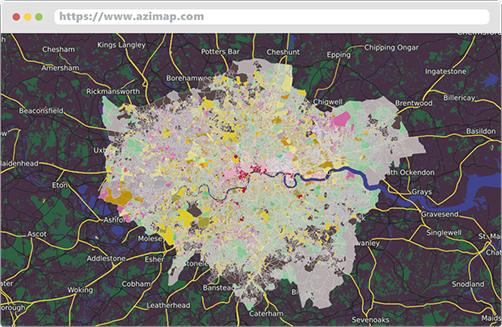
Easily identify patterns in data by using the thematic styling tool.

Layer Swipe
Compare 2 datasets over time quickly & easily at the click of a button.

Sketch Layer
Create temporary features & share with other users to improve collaboration across multiple sites.
Analysis
Deliver new insights and identify relationships in your data. Azimap's analysis tools are revolutionising data analysis on the web. The advanced analysis tools provide greater control and flexibility over your data enabling the creation of complex SQL or spatial queries with no coding experience necessary. With all queries available as new data layers, results can be viewed, analysed and exported like never-before.


Advanced Spatial Queries
Create advanced spatial queries & filter data in multiple ways all without the need to create or write complex code.

Attribute Query Builder
Effortlessly create complex SQL queries without the need to learn complicated coding processes.

Search
Find the results you need in an instant with the user-configurable quick search tool.

Proximity Search
Create extensive excel reports of data within a confined radius in a flash with a few simple button clicks.

Routing
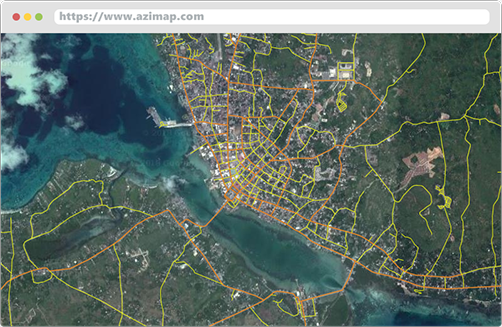
Quickly create optimised travel routes, whether driving or on foot, utilising open data at the click of a button.

Walk & Drive Time Analysis
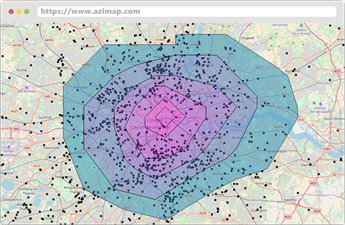
Easily identify accurate drive or walk times from a location with the network analysis polygon wizard.

Speed Limits
Improve the planning of external works by identifying the speed limits of roads in the local area.

Data Joins
Join disparate datasets & link information without the need to use third party tools or software.
Integrate With Existing IT Infrastructures
Transform the way your organisation manages its data. Azimap's integration tools will improve collaboration across teams and departments thanks to publishing tools that have made it easier than ever to share maps and data. External databases can be connected in a matter of seconds to provide real-time synchronisation and the central data repository will change the way your organisation manages and accesses its data.


Publish & Share Maps
Improve collaboration across teams or departments using the publishing tools to share maps & data.

Central Data Repository
Store your data in one central location to reduce unnecessary duplication & retain control over how it is accessed.

API Integration
Create dynamic web applications or integrate your maps with other applications by utilising the Azimap API.

Connect with External WMS
Manage your remote WMS output as if it were local using the simple WMS connection builder.

Connect External Databases
Easily manage disperse datasets & see updates in real-time with instant synchronisation between maps & the underlying data.


