Visualise your Geo Spatial Data with AziMap
Use Azimap's data visualisation tools to import and digitise your location data on dynamic web maps
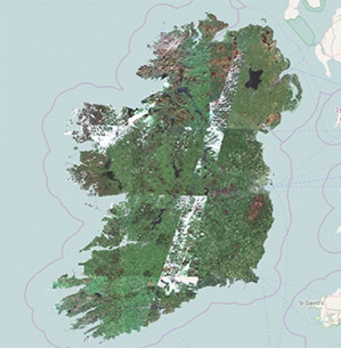
Sentinel-2 Map of Ireland
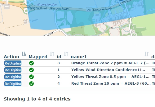
Following a year in which the European Space Agency's (ESA) Copernicus programme captured moreHow To Digitise Data
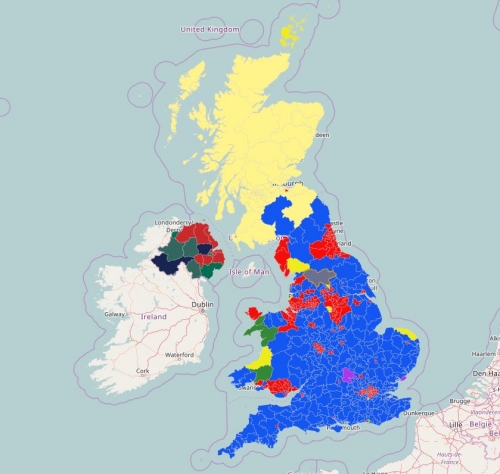
In this short video, editors will learn how to quickly digitise data in a few simple clicks.Predominance Map of the UK 2015 Election Results
Explore our predominance map of the 2015 election results.What is GIS?
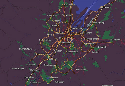
GIS commonly known as Geographic Information Systems, is focused on location and information data!Draft Belfast Bicycle Network
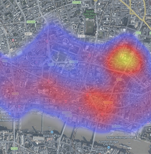
The Infrastructure Minister announces plan to develop a quality bicycle infrastructure for Belfast.2016 City of London Crime Heat Map
Heatmap, highlighting the reported crimes in the City of London in June 2016.Duplicate Townland Names In Ireland
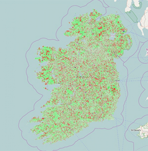
Using open data from townlands.ie identify the duplicate and unique townland names in Ireland.Bus lanes bank £31m in a year for councils
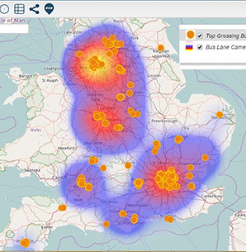
Bus lane cameras generate £31m a year in fines for 160 local authorities.Kildare County Council partners with Azimap to plan public services
Kildare County Council integrates Azimap to co-ordinate service delivery and improve efficiency.

