Transforming the way Local Authorities access, consume & analyse their data
Local Authorities generate & handle large volumes of location-based data, but complex systems have meant that it is often a struggle to best utilise data in support of their citizens. Recognising this, AzimapLA is providing Local Authorities with the tools to enable them to become more effective, making data driven decisions, improved efficiencies, enhanced services & increased citizen engagement a reality.
GIS Access for All
Accessible anywhere, anytime. Provide GIS access to all staff and departments. User-friendly and simplified tools enable anyone to create maps, access data and share information. Reduce workloads and free up valuable resources to focus on service delivery.
Powerful Data Analysis
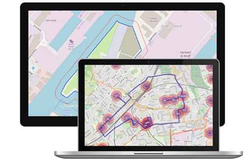
The functionality of a desktop system, now available on the web. Build advanced spatial queries with no specialist or technical knowledge required. Deliver fresh insight and understanding from your data. All possible with the most powerful analysis tools in a web GIS.
Improved Organisational Collaboration
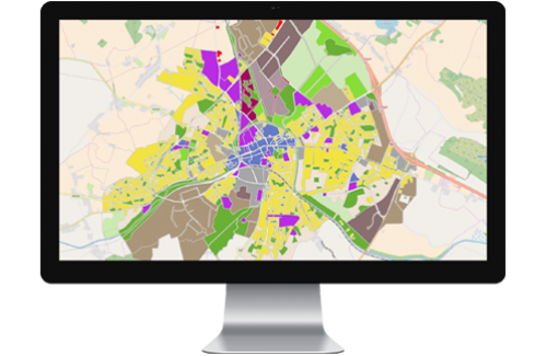
Transform the way staff collaborate on important projects. Quickly and easily share data securely with staff internally to improve collaboration or citizens externally to boost public engagement. Bringing teams closer together will help to improve services and reduce unnecessary data duplication.
Easy Integration
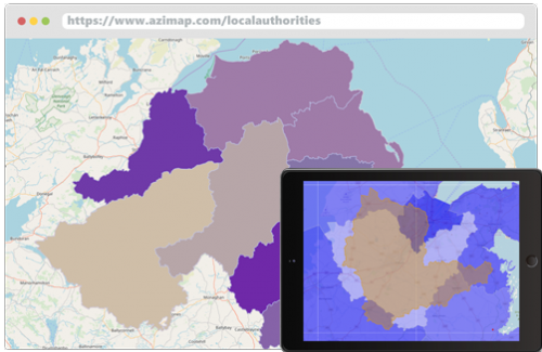
Modernise data management processes with the seamless integration into existing IT infrastructures. Supporting all major spatial data types, stored and access all data from one central location. Regain control over how organisational data is used and accessed.
All-Inclusive Pricing
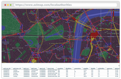
What you see is what you get. All features and tools are included as standard with unlimited usage at no-extra cost and no need to purchase additional credits. Consistent pricing helps to maintain control over budgets with no spikes in costs for the completion of larger projects.
Learn more about how Azimap LA can help your Local Authority


